Our Services
Data Analysis.
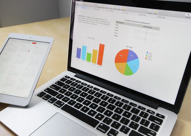
Our data analysis services include:
- Geological data analysis: We use a variety of software and techniques to analyse and interpret geological data, including drilling and sampling data, geological maps, and remote sensing data. This information is used to create detailed maps and cross-sections of the project area, which are used to identify potential areas of interest.
- Geochemical data analysis: Our analysis involves a thorough examination of soil and rock samples, stream sediments, and vegetation to identify potential mineralization and determine the geochemical signature of the project area. We leverage our expertise and experience to extract valuable insights from the data and provide valuable recommendations to our clients.
- Geophysical data analysis: Our analysis entaills a comprehensive examination of airborne and ground-based surveys to create detailed maps of the subsurface. These maps are used to identify potential areas of interest by leveraging our expertise and experience to extract valuable insights from the data. We use our extensive knowledge of geophysical principles and methods to provide our clients with high-quality and reliable results.
- Data integration: We employ cutting-edge methodologies and sophisticated tools to amalgamate all data gathered during a project and form a comprehensive grasp of the project area. This includes employing state-of-the-art 3D and 4D modelling to produce an all-encompassing perspective of the project area and discern promising areas of interest.
Validation of Data.
Our data validation services include:
- Data Quality Control (DQC): We use DQC procedures to check the quality of data and ensure that it meets industry standards. This includes reviewing data for errors and inconsistencies, and comparing data with other sources to identify any discrepancies.
- Data Quality Assurance (DQA): We use DQA procedures to ensure that data is collected, processed, and reported in compliance with industry standards and regulations. This includes developing and implementing standard operating procedures and quality control plans.
- Data Auditing: We conduct data audits to evaluate the quality and accuracy of data used in a project. This includes reviewing data collection and processing procedures, and inspecting data for errors and inconsistencies.
- Data Integration: We utilise innovative technologies and modern methodologies to integrate all project data and establish a comprehensive understanding of the project area. This includes thorough data validation procedures that guarantee the accuracy and consistency of the data used in the project.
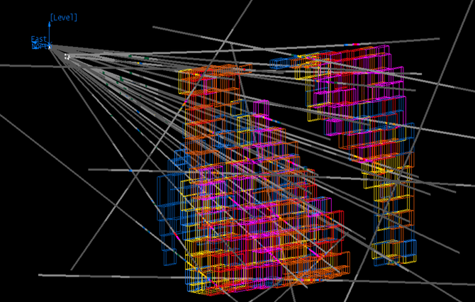
Resource Modelling.
Our resource modelling services include:
- Mineral Resource Modelling: We use advanced software and techniques to create 3D models of mineral deposits, which are used to estimate the size, shape and grade of the resource. These models also help identify areas of higher-grade mineralization and potential extensions of the deposit.
- Energy Resource Modelling: We use advanced software and techniques to create 3D models of oil and gas reservoirs, which are used to estimate the size, shape and distribution of the resource. These models also help identify areas of higher-density reservoir and potential extensions of the deposit.
- Reserve Estimation: We use industry standards and guidelines to classify and estimate mineral or energy resources. This includes the application of geostatistics, which are statistical methods used to estimate the size and shape of the resource based on the data collected.
- Risk and Uncertainty Analysis: We use advanced software and techniques to conduct risk and uncertainty analysis to identify and quantify the risks associated with a project. This includes the identification of areas of higher risk and uncertainty and the development of mitigation strategies.

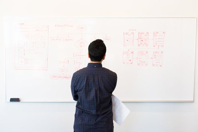
Desktop Study.
Our desktop study services include:
- Our team of experienced geologists conducts a thorough review of all available data, including geological maps, drilling and sampling data, and previous studies and reports. We also review any relevant environmental, social, and cultural information that may impact the project.
- The information gathered during a Desktop Study is used to identify potential areas of interest and to develop a better understanding of the geology of the project area. This information is also used to identify any potential risks or challenges that may need to be addressed during later stages of the project.
- Our Desktop Studies are conducted in accordance with industry best practices and are compliant with relevant regulations and guidelines. We deliver the study in a comprehensive report that includes a summary of the findings, a detailed description of the geology of the project area, and recommendations for next steps.